Major Airports in Eritrea
- Asmara International Airport (ASM) - 01:23:59
Daylight saving time in Eritrea
Eritrea has 1 listed IANA time zones. None of them observe daylight saving time in 2026. The UTC offset remains stable throughout the year.
Best Time to Call Eritrea
Business hours in Eritrea (9 AM–5 PM local time) fall at these local times elsewhere:
- Beijing: 2:00 PM – 10:00 PM ( Partial overlap)
- Paris: 8:00 AM – 4:00 PM ( Convenient)
- Toronto: 2:00 AM – 10:00 AM ( Outside normal hours)
- Seoul: 3:00 PM – 11:00 PM ( Partial overlap)
- Mexico City: 12:00 AM – 8:00 AM ( Outside normal hours)
- Cairo: 9:00 AM – 5:00 PM ( Convenient)
- Bangkok: 1:00 PM – 9:00 PM ( Partial overlap)
Times shown reflect current UTC offsets and may shift by up to an hour around daylight saving transitions.
Time Difference from Eritrea
Compare time in Eritrea with other countries.
Holidays in Eritrea
Official national public holidays. Regional and religious observances may vary by area.
About Time in Eritrea
Eritrea Has Three Rainy Seasons, but They Do Not Arrive in the Same Places
A single national rainfall calendar works poorly in Eritrea. The country rises from the hot Red Sea coast to a central plateau above 2,000 meters and then falls toward western lowlands, and those landscapes receive their useful rain at different times of year.
FAO agricultural assessments distinguish three recurring rain periods. The eastern coastal lowlands receive the bahri rains mainly from about October to February. The highlands can receive smaller azmera rains from March to May. The principal kremti season arrives from late June or July into September across the highlands and much of the western part of the country, while the Red Sea coastal plain largely follows a different seasonal regime.
That separation creates several agricultural clocks inside a relatively small country. A field in the central highlands can be waiting for summer rain while pastoralists and farmers closer to the eastern escarpment are working with moisture produced by a winter rainfall system. The useful definition of "rainy season" therefore changes after crossing only a few tens of kilometers and a large vertical difference in elevation.
Timing is especially important because most Eritrean crop production remains rainfed. Historical FAO assessments repeatedly show how a missed interval can matter even when total seasonal rainfall later improves. In 1995, for example, weak moisture during April and May affected early highland planting, a dry June interrupted crop development, and some farmers replanted with shorter-season barley, wheat or teff. Adequate rain in July and August could not fully erase the earlier loss of growing time, while an early decline in September rainfall hurt long-duration maize and sorghum.
The 2025 season showed the same mechanism in a less damaging form. Main-season planting in several central and western regions was completed in July. Kremti rainfall was slightly below average during July but improved substantially in August, reducing the early moisture deficit and improving crop prospects. The important variable was not simply how much rain fell during the year, but whether it arrived while crops could still use it.
Eritrean agricultural time is therefore spatial as well as seasonal. Bahri, azmera and kremti are not three interchangeable names for rain. They describe separate windows in which different landscapes become temporarily productive, and a delay of several weeks can shift planting, pasture growth and harvest even though the civil calendar has not changed.
Camels May Move Hundreds of Kilometers Because the Useful Season Has Moved Somewhere Else
Pastoral communities turn that uneven rainfall calendar into movement. FAO research among Eritrean camel herders found that households and herds may migrate anywhere from once to five times in a year. Individual movements can be short, but some extend for several hundred kilometers.
The schedule is not fixed by numbered dates alone. Herders follow forage created by rains that are highly variable in both place and time. Among pastoralists in the western lowlands, dry-season movement toward areas with evergreen browse commonly begins from November. Camels may remain there until the end of June and return toward their base around the beginning of July, when summer rains change grazing conditions elsewhere.
A separate FAO study of pastoral knowledge among Beni-Amer communities describes another seasonal sequence. With the onset of rains around June, families with camels and small stock move northward from dry-season bases in Gash-Barka toward higher areas in northern Gash-Barka and Anseba. Cultivation takes place around valleys and water catchments during the wet months. Dry cattle herds also move north, avoiding flooding, wet clay soils, cultivated fields and biting insects farther south.
The return begins in stages. In a normal year, dry herds start moving toward dry-season grazing areas around October. Families, milk cows and small stock may follow during November, after crops have been harvested and livestock have grazed the remaining stalks and residues.
Camels are particularly suited to this mobile calendar because the interval between drinking can expand when green forage is available. FAO field observations found that animals could obtain enough moisture from plants during wet periods to avoid drinking separately. During dry conditions, herds were normally kept within roughly a two-day walk of a permanent water source, while wells 14 to 30 meters deep provided water in some areas.
The resulting annual schedule cannot be reduced to summer versus winter. Rain decides where forage appears, crop cultivation temporarily changes which land can be grazed, river flooding blocks some areas, and milk production changes which animals need to remain close to households. Movement begins when those conditions align, not because every family reaches the same square on a calendar.
A Train from the Red Sea Had to Climb More Than Two Kilometers to Reach Asmara
The railway between Massawa and Asmara compressed one of Eritrea's sharpest environmental transitions into a scheduled journey. Massawa stands at the Red Sea coast. Asmara sits on a high plateau at roughly 2,300 to 2,400 meters. The horizontal distance is modest compared with many national railways, but almost the entire elevation difference has to be gained between them.
UNESCO's documentation of Asmara records railway construction beginning in 1887. The line reached Ghinda, at about 888 meters, by 1904 and Nefasit, at about 1,672 meters, by 1910. The final mountain section required more than twenty tunnels and sixty-five bridges and viaducts, with an average gradient near 1 in 30 between Nefasit and Asmara. The railway reached the capital in 1911.
The route changed the practical meaning of distance between coast and plateau. Earlier transport depended on roads, pack animals and long climbs through the escarpment. Rail turned the ascent into a sequence of stations and predictable travel intervals. Contemporary twentieth-century travel guides later advertised fast railcars capable of covering the Massawa-Asmara route in only a few hours.
The journey also crossed climate zones quickly enough for passengers to feel them within a single trip. A traveler could leave the hot and often humid coastal environment, climb through progressively cooler escarpment zones and arrive on the highland plateau where temperatures were markedly lower. Historical travel advice even warned passengers to carry warm clothing despite beginning the journey beside the Red Sea.
The line therefore did more than connect two cities. It converted a vertical landscape into timetable time. Elevation that had once been experienced through the variable speed of caravans became a scheduled climb governed by gradients, passing points, locomotive performance and station clocks.
At 18:37, the Ground Began Shaking Before Nabro's First Recorded Historical Eruption
On the evening of 12 June 2011, an earthquake sequence began near Nabro in southern Eritrea. Smithsonian and USGS records place the first significant shock, magnitude 5.1, at 18:37 local time. During the following hours, a succession of additional earthquakes occurred near the Eritrea-Ethiopia border.
The sequence accelerated toward midnight. Two magnitude 5.7 earthquakes were recorded at 23:32 on 12 June and 00:03 on 13 June. Within hours, satellite instruments detected a major volcanic eruption. The Toulouse Volcanic Ash Advisory Centre placed the beginning of eruptive activity during the early hours of 13 June, although early reports initially misidentified the source as nearby Dubbi.
Nabro had no previously documented historical eruption. That made the first hours unusually difficult to interpret. Scientists were not watching a volcano with a familiar modern pattern of precursors, established monitoring stations and a recent catalogue of eruptions. The chronology had to be reconstructed from earthquakes, satellite imagery, ash observations and reports from a remote border region.
The plume rose dramatically. Initial estimates placed ash at approximately 9 to 14 kilometers altitude, while later scientific analysis concluded that parts of the plume penetrated above the tropopause into the stratosphere. Satellite imagery followed sulfur dioxide and ash far beyond Eritrea; material travelled northwest across Sudan, and a detached cloud was detected much farther away during the following days.
The eruption was not a one-night event. Lava continued to emerge, ash and gas emissions persisted, and satellite thermal anomalies were detected repeatedly. Smithsonian records show thermal alerts continuing into 2012, with the final recorded alert on 3 June, almost a year after the first earthquake swarm.
The chronology therefore spans radically different intervals. Individual earthquakes are timestamped to the minute. The main transition from seismic crisis to eruption occurred within hours. Ash crossed international distances over days, while heat from the eruptive system remained detectable for months. What began at 18:37 on an ordinary June evening became the first observed eruption in Nabro's written historical record.
In the Hot Season, Eritrean Fishing Grounds Can Shift from 20 Fathoms to 80
Along Eritrea's Red Sea coast, fishers recognize a seasonal division that changes not only what they catch but how far and how deep they must travel. FAO surveys at Massawa and around the Dahlak Islands identified a cooler fishing season running broadly from October or November through April and a hot season from May through September.
During the cooler months, artisanal fishing commonly takes place around banks and reefs at depths of roughly 5 to 20 fathoms. Fish are more accessible to smaller boats operating relatively close to traditional grounds, making this the more productive period for many crews.
The hot season changes the geometry of a fishing trip. FAO interviews found that resources tend to occur farther offshore and in deeper water. Fishing commonly shifts toward depths of about 50 to 80 fathoms, often farther south. Trips become longer and techniques have to change.
Some fishing communities respond by moving geographically as well as vertically through the water column. In the southern Dankalia region, seasonal movements have been recorded toward the Dahlak Archipelago and toward Assab, particularly during the cooler part of the year when fish distributions make those journeys worthwhile.
The distinction is not absolute. Fishing continues throughout the year, and not every coastal community migrates. What changes is the amount of time and effort required to reach productive water. A ground that can be worked relatively close to shore in January may no longer provide the same return in July.
This makes the Red Sea fishing calendar a measure of travel time as much as season. Heat alters the distribution of fish, the change in distribution alters depth and distance, and distance lengthens the working day at sea. The same boat can therefore operate under two very different temporal economies within one year.
Asmara's Pre-1936 Clock Looks Precise to the Second, but the Database Says Not to Trust It That Far
Modern Eritrea keeps a simple civil time: UTC+3 throughout the year. The historical record stored by time-zone software looks much more elaborate. Older versions of the IANA Time Zone Database assigned Asmara local offsets such as UTC+2:35:32 and later UTC+2:35:20 before switching to UTC+3 in May 1936.
Those values appear impressively exact because they were derived from longitude-based mean time. In a database, a timestamp from nineteenth-century Asmara can therefore seem to be reconstructable to the second.
IANA's own maintainers later questioned that confidence. When African pre-1970 data were reorganized, they explicitly noted that the old reconstruction for Eritrea and neighboring Ethiopia was likely unreliable. The earlier claim that several narrowly separated local time zones existed before 1890 came from secondary compilations, and even the identification of the supposed reference meridian was uncertain.
As a result, modern tzdata no longer treats that elaborate sequence as dependable core history. For practical post-1970 use, Africa/Asmara follows the East African Time history represented through the Nairobi zone. UTC+3 is stable and uncontroversial for contemporary timestamps; the apparent second-level precision of nineteenth-century entries is another matter.
This is an important distinction for historical computing. Precision in a database field does not automatically mean precision in the surviving evidence. Writing `+02:35:32` is technically exact, but if the underlying historical source is uncertain, the extra seconds can create an illusion of knowledge that the archive does not support.
Eritrea's most interesting time-zone story is therefore not an unusual modern offset or repeated daylight-saving changes. It is the opposite: a warning that historical civil time can look more exact in software than historians can actually justify.
Frequently Asked Questions
How many time zones does Eritrea have?
One. The whole of Eritrea follows Africa/Asmara, so every city shows the same local time as the capital, Asmara.
Is Eritrea ahead of or behind GMT?
Eritrea is currently 3 hours ahead of GMT (UTC+3).
Does Eritrea use summer time?
No. Eritrea does not observe daylight saving time, so its clocks stay at UTC+3 all year. Its time difference with countries that do change their clocks still shifts by an hour in spring and autumn.
How many public holidays does Eritrea have in 2026?
Eritrea has 15 national public holidays in 2026, when banks and government offices are usually closed. Some regions may also have their own local holidays.
How do I dial a phone number in Eritrea from abroad?
From a mobile phone, type +291 and then the local number without the leading 0 used for domestic calls, if it has one. From a landline, replace the plus sign with your exit code: 011 from the US and Canada, or 00 from most of Europe, for example 00 291 followed by the number.
What language is spoken in Eritrea?
The main languages of Eritrea are Afar, Arabic and Tigre.
Beyond the Clock

Why the Earliest Sunset Comes Before the Winter Solstice
In New York, the Sun sets earliest on Monday, December 7, 2026, at about 4:28 PM. The shortest day comes two weeks later. The solstice falls at 20:50 UTC on December 21 (3:50 PM EST), and on that day New York gets roughly 9 hours

Total Solar Eclipse on August 2, 2027: Where, When, and Why It Lasts So Long
On Monday, August 2, 2027, the Moon's shadow will cross southern Spain, North Africa and the Arabian Peninsula, producing the second-longest total solar eclipse of the 21st century. At its maximum, in southern Egypt near Luxor, the Sun will be completely covered for about 6
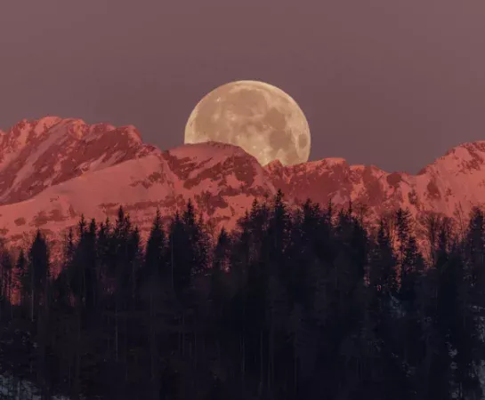
What Is a Supermoon and When Is the Next One
Every time a supermoon rises, the same statistic gets repeated: 14% bigger, 30% brighter. It's in almost every news segment and nearly every listicle, and it's also a comparison almost nobody in the audience will ever actually witness, because it measures the single closest possible
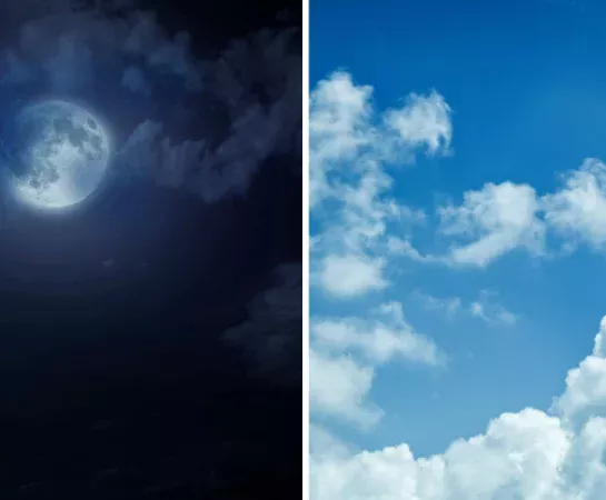
Why the Sky Is Blue During the Day and Black at Night
Sunlight is white. Air is, as far as anyone can tell by looking through a window, colorless. And yet every clear afternoon the same 400,000-kilometer column of gas above your head reads as a specific, saturated blue, then goes black within an hour of sunset.

When Do the Clocks Change in 2026: US, UK, and EU Dates
The clocks fall back twice this autumn on the two sides of the Atlantic, one week apart. The United Kingdom and every European Union country end summer time on Sunday, October 25, 2026. The United States and most of Canada end daylight saving time on

What Time Zone Is Mexico In and Why It Stopped Changing Its Clocks
Mexico uses four time zones, and since October 30, 2022, most of the country keeps the same time all year. Mexico City, Guadalajara and Monterrey stay at UTC−6 in January and in July. Cancún stays at UTC−5, Los Cabos and Mazatlán at UTC−7. The only
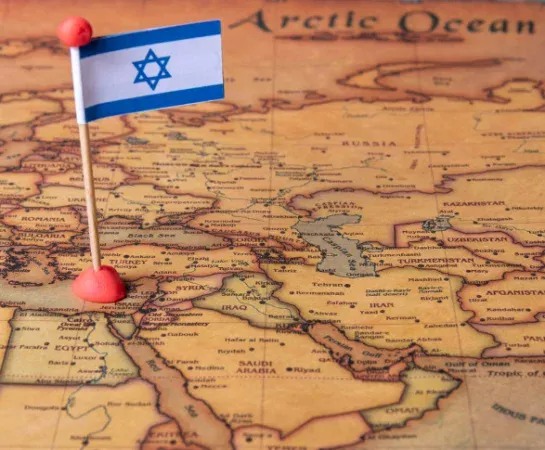
Why Israel Changes Its Clocks on a Different Schedule Than Europe
Israel's clocks now fall back on the same day the European Union's do, the last Sunday of October, a deliberate alignment written into a 2013 law. But the two systems still don't match. Israel springs forward on the Friday before the EU's last Sunday of
Why Japan Never Adopted Daylight Saving Time
The premise behind that headline needs a small correction before the story even starts. Japan did try daylight saving time, for four full years, complete with clocks moving forward and back on a fixed schedule. What Japan never did was choose it. The distinction between
Time Tools
Quick access to timers, stopwatch, world clock and time zone tools.
Time Guides
Read useful guides about time zones, calendars, finance and astronomy.


